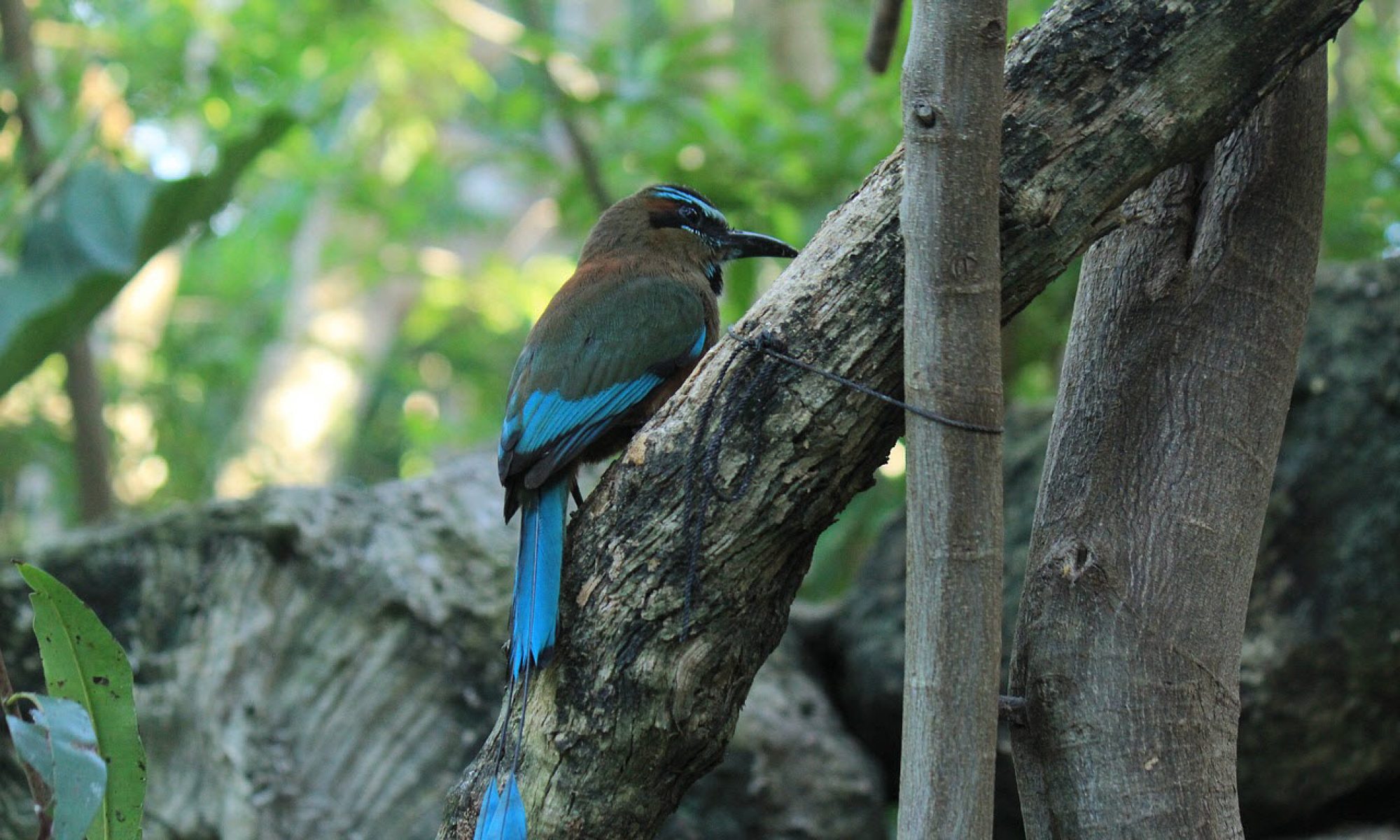
Chactún is an archaeological site located in the northern part of the Calakmul Biosphere Reserve in Campeche, in a lowland area on the Yucatán Peninsula. The site is located in an area of dense jungle filled with large trees, orchids and large Monstera wines
Chactún is believed to have been a city where the government for a larger area was seated. At its peak, the city probably had somewhere between 30,000 and 40,000 residents.
In Mayan, the Chactún means red stone. This is not the name the original inhabitants of the site used (that name remains unknown), it is instead a name bestowed upon the site by a group of archaeologists based on an inscription found here that translates into “K’inich B’ahlam erected the Great Red Stone”.
The ruins at Chactún
The site contains three complexes of monumental architecture, dated to 600 AD – 900 AD.
The largest of the three complexes is the western one, which take up roughly half of the total site area.
Examples of Chactún features:
- Numerous pyramids, of which the tallest one is 23 meters.
- A number of plazas surrounded by large palace-like buildings.
- Two ball courts
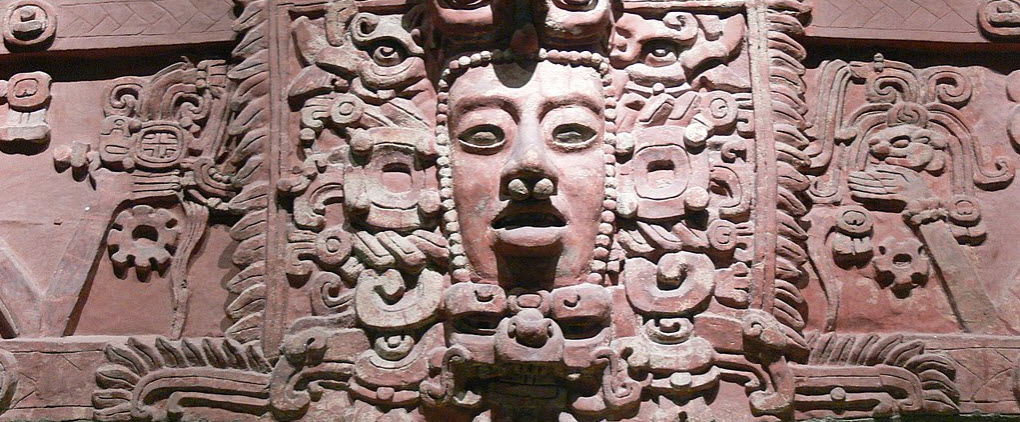
- A lot of sculptured stone stelae and altars, and some monuments with well preserved reliefs, some of which contain hieroglyphic inscriptions. The most famous stela is one with remnants of stucco glyphs attached to the stone.
After the collapse
Some evidence found at the site indicate that this spot might have been inhabited again after the fall of the Mayan empire. Ceramic offerings to old monuments seems to have occurred as late as the Post-Classic period. In the ball court areas, a significant amount of artifacts dated to post-collapse time have been found.
Archaeological exploration
In 2013, the site caught the interest of a group of archaeologists that used aerial photography to survey the region. The project, headed by archaeologist Ivan Sprajc, involved a team of both Mexicans and foreigners, attached to the Universidad Nacional Autónoma de México (UNAM) and the Research Center of the Slovenian Academy of Sciences and Arts (ZRC SAZU).
Before they could actually access the site and commence their work, the researchers and their crew had to spend four weeks reopening an abandoned dirt road. Once there, the group focused their research on three urban cores, creating maps and three-dimensional models.
The project, which was financed by National Geographic Society and Villas and Ars Longa, had the support of the Instituto Nacional de Antropología e Historia (INAH).